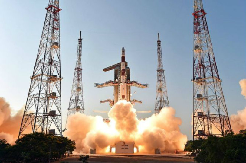
ISRO has been creating history after the start of 2017. It began with a bang after launching 104 satellites and continued to various discoveries. One such latest is the historic lift off of India’s heaviest rocket GSLV-MK III+.
Now the organisation is aiming at launching the Cartosat series satellites. These are also called as ‘eye in the sky’ because of their surveillance capacity. It will be launched into the 505 km polar sun synchronous orbit by the end of June. This 550 kg satellite is the fourth of its kind and will be launched by the PSLV-C38 rocket into the orbit.
The Cartosat series is an advanced remote sensing satellite. This satellite has the capability to provide scene specific spot images. It is equipped with state of the art panchromatic (PAN) camera. This camera clicks black and white pictures of the earth in the visible region of the electromagnetic spectrum. This PAN camera can also cover a high resolution swath of 9.6 km. Also the spatial resolution is less than 1 meter.
The Cartosat, after its induction has become an added profit to the Indian military surveillance and reconnaissance capabilities. It has been providing high resolution images for the missions. The Cartosat-2C satellite was first time ever used by the military when the Army commandos counted on satellite images to hit terror launch pads across the LoC during surgical strike in September, 2016.
The satellite is equipped in a way to detect the changes in geographical information systems (GIS) and man made features and various other land information system (LIS) applications. Sources from ISRO said, the “Demand of Cartosat images has increased in recent years as most departments of the Union Government are relying on satellite images to get accurate data about a geographical area to implement their development projects. Satellite images not only save manpower, but also help get accurate geographical data about a place.”


